Google Maps’ Latest Update Makes It Easier For Wheelchair Users To Get Around
Google Maps is some incredibly impressive technology. It’s allowed us to explore places far and wide from anywhere with an internet connection, like every single South African national park, Japan from a dog’s-eye-view, and even outer space from the International Space Station.
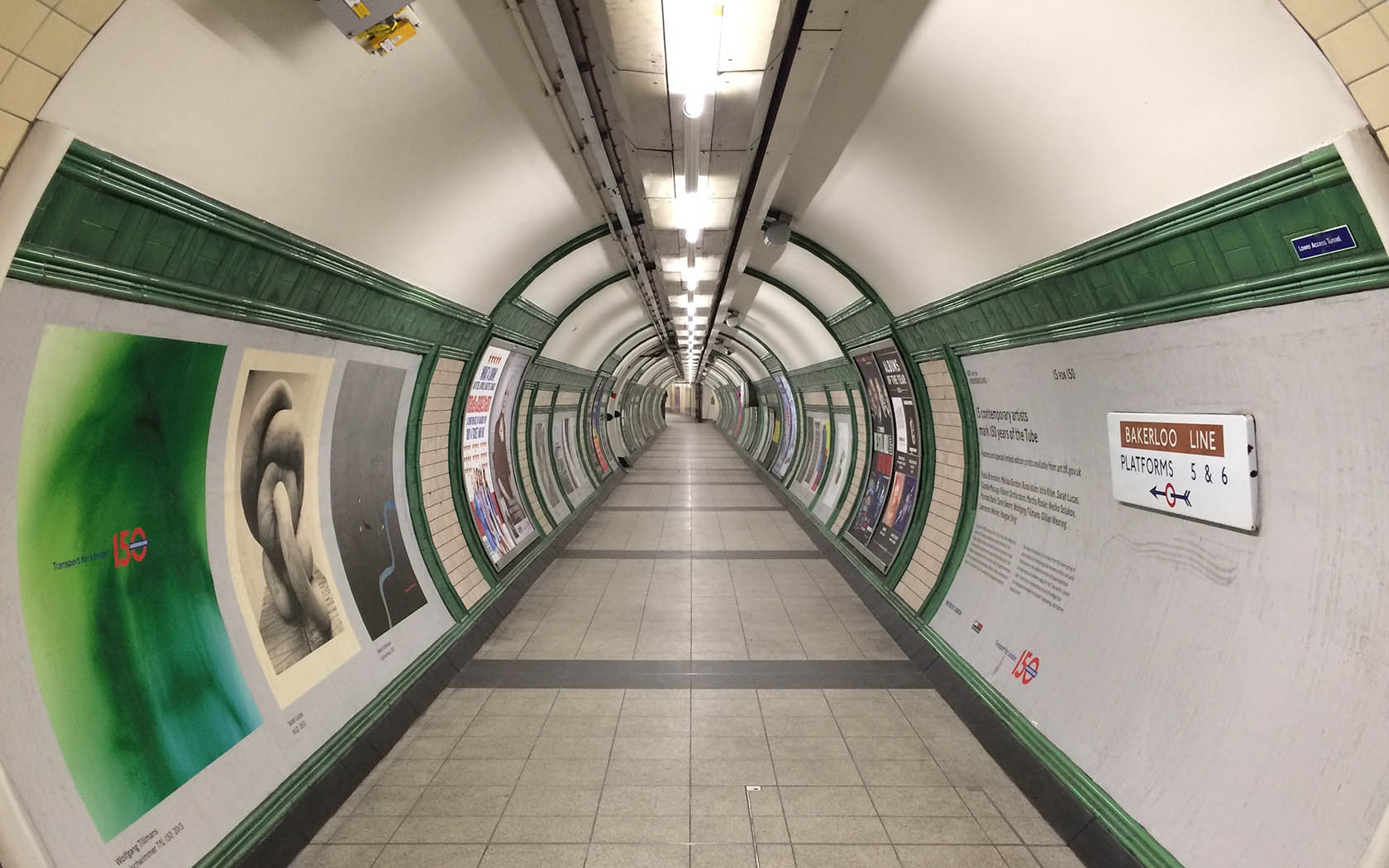
But we reckon Google Maps’ latest feature trumps all those: the platform now displays wheelchair accessible routes in cities like Boston, New York, London and Sydney.
For a while now, Google Maps has allowed its users to check out the easiest ways to get around using public transport, but those routes aren’t always wheelchair-accessible or don’t cater for people with other disabilities.
[media_embed]https://youtu.be/ehyhFyKXwjc[/media_embed]Google said it teamed up with transit agencies which assisted with logging the best wheelchair-accessible routes. Now, all users have to do is enter where it is they’re off to, tap the “directions” tab, select “wheelchair accessible”, and the best routes will be shown.
The tech giant is rolling out the new feature in major metro areas worldwide. “We’re looking forward to working with additional transit agencies in the coming months to bring more wheelchair accessible routes to Google Maps,” Google product manager Rio Akasaka said in a blog post.

(Lead image: Dwayne Paisley-Marshall)