Google Maps Visited The Top Of The World In Their Most Remote Expedition Ever
Google has captured some unreal footage on its mission to map the entire planet. From Uluru and Kakadu, to 400m above the earth’s surface, there aren’t too many places that are off-limits for exploration.
Recently, the tech giant set its sights on Quttinirpaaq National Park in Nunavut, Canada — the farthest north Google has ever ventured.
The park is super remote, so much so that it only sees around 50 visitors annually. Despite its isolation, it’s truly a natural beauty.
It’s the northernmost park in Canada, and lies roughly 800km from the North Pole. It’s home to archeological sites as old as 4000 years and is the second-largest national park in Canada.
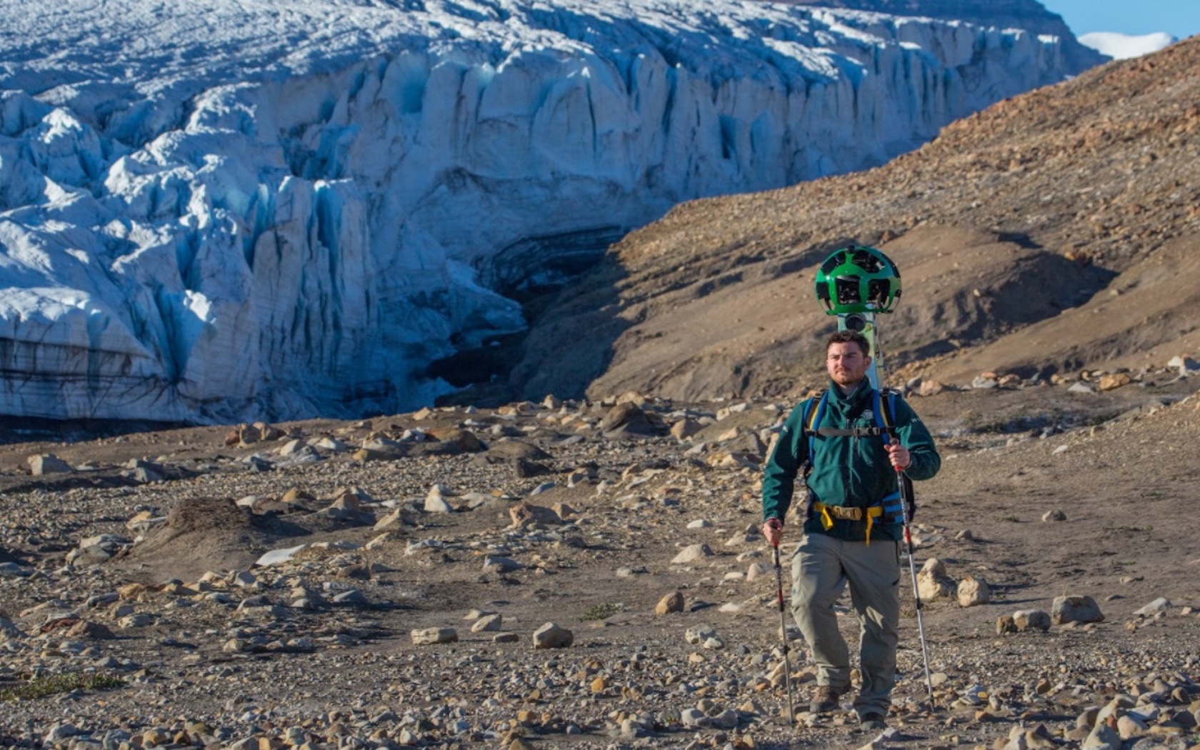
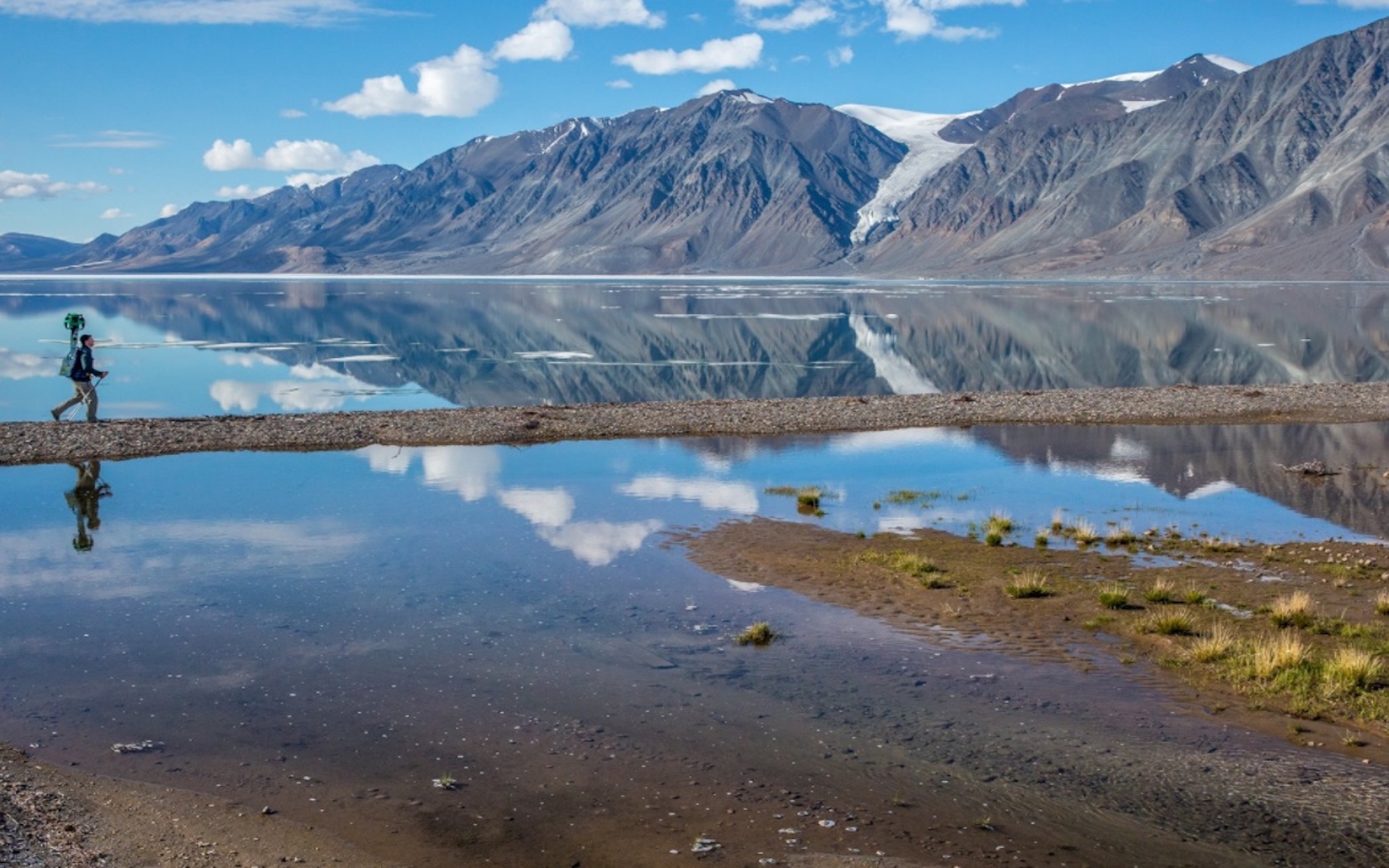
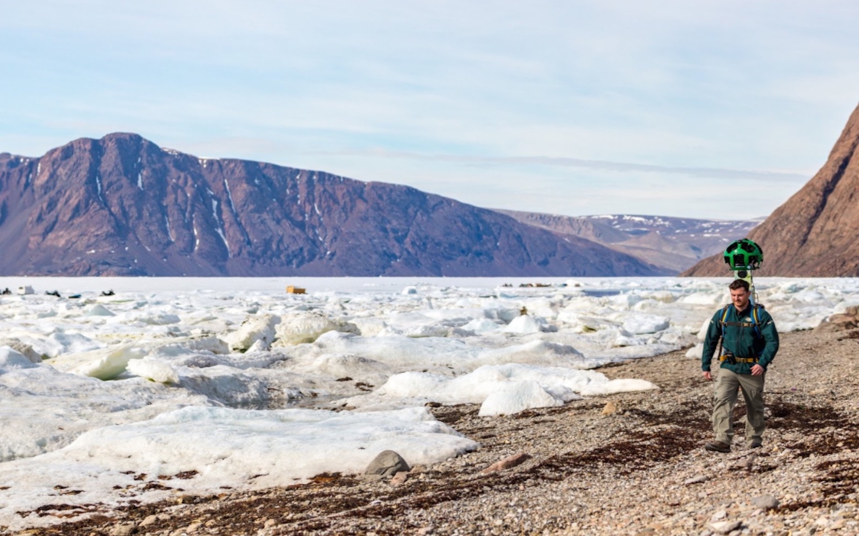
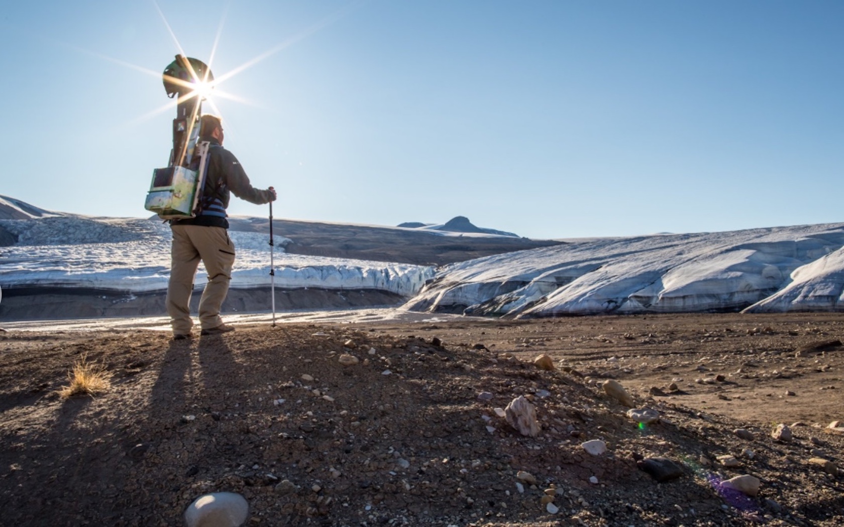
“Last summer, our team threw on the Google Trekker and explored the park’s incredible terrain — it was the furthest north Street View has ever gone,” Park Manager Emma Upton told Google in a blog post. “Wilderness and extreme isolation characterise this area, where fewer than 50 people visit each year.”

The park’s name translates to “the top of the world” in Inuktitut, the local indigenous language.
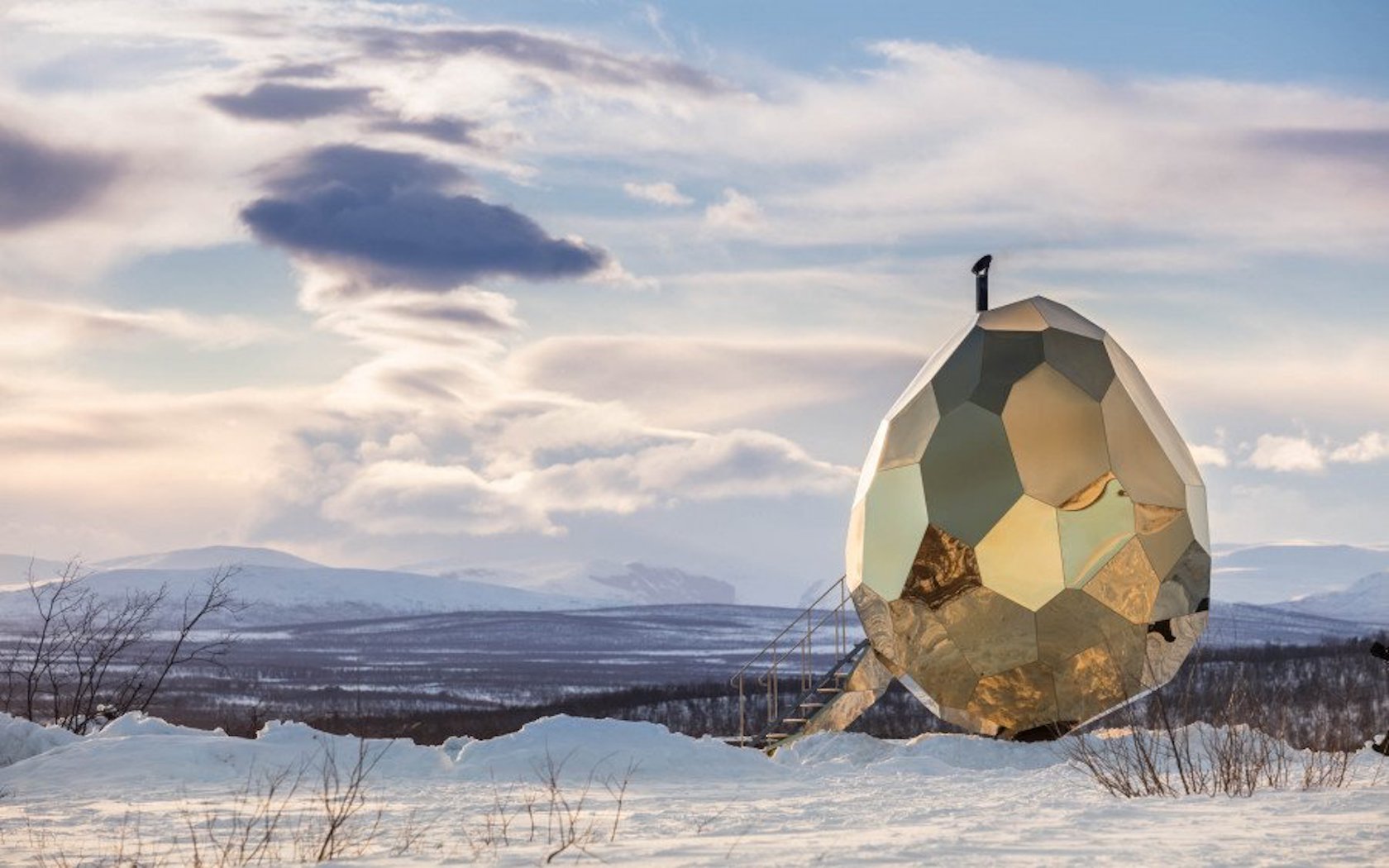
Quttinirpaaq National Park stretches along the ocean shoreline, boasting views of lofty ridges and colossal glaciers. The vision Google captured is spectacular — a digital reflection of one of the world’s most remote locations.
(All images: Ryan Bray / Parks Canada via Google)