Travelling In Melbourne Just Got A Whole Lot Simpler
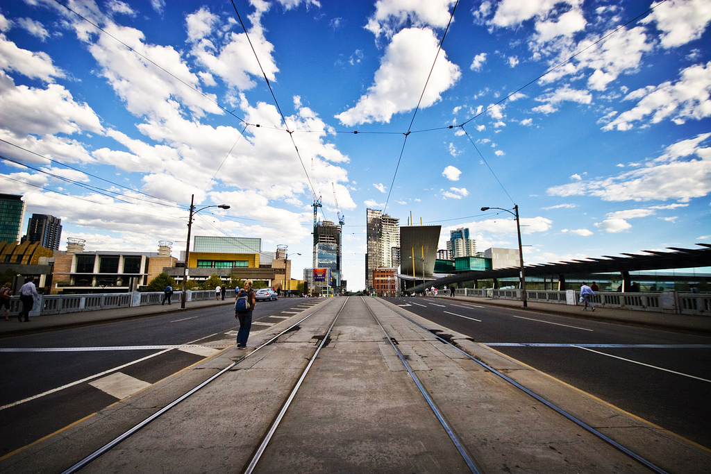
Navigating Melbourne’s plethora of laneways, art spaces, restaurants and bars can be like trying to find a needle in a haystack. Unless you’re completely in tune with Melbourne’s public transport and their love-it-or-hate-it Myki system, you’re likely to find yourself spending way too much time staring at a Yarra Tram map with a quizzical look on your face.
Until now that is – Melbourne has officially joined its capital city brethren and now has access to public transport info on Google Maps. Finally.

Before now TramTracker or the dreaded PTV app were the only way for a Melburnite to figure out how to get from point A to point B using public transport. With this new addition to Google Maps, visitors and locals alike will now be able to navigate this city with ease.
The new feature functions just as you dreamed it would – you can now input your destination, and a selection of public transport options will preset themselves. Travelling from the Queen Vic Market to the famed MCG now elicits a range of transportation options, and a huge sigh of relief for travellers in Melbourne.

There’s never been a better time to check out Melbourne’s best bowls of ramen or craft beer paddles or even do the unthinkable and check out every single one of Melbourne’s 40 laneways. The world is your oyster, dear friend.

(Lead image: Fernando de Sousa/Flickr)